Atlantic and East Pacific Model Forecast Discussion 9-10-2025
Atlantic
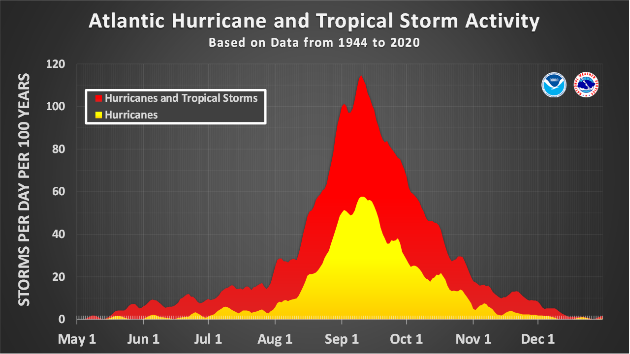
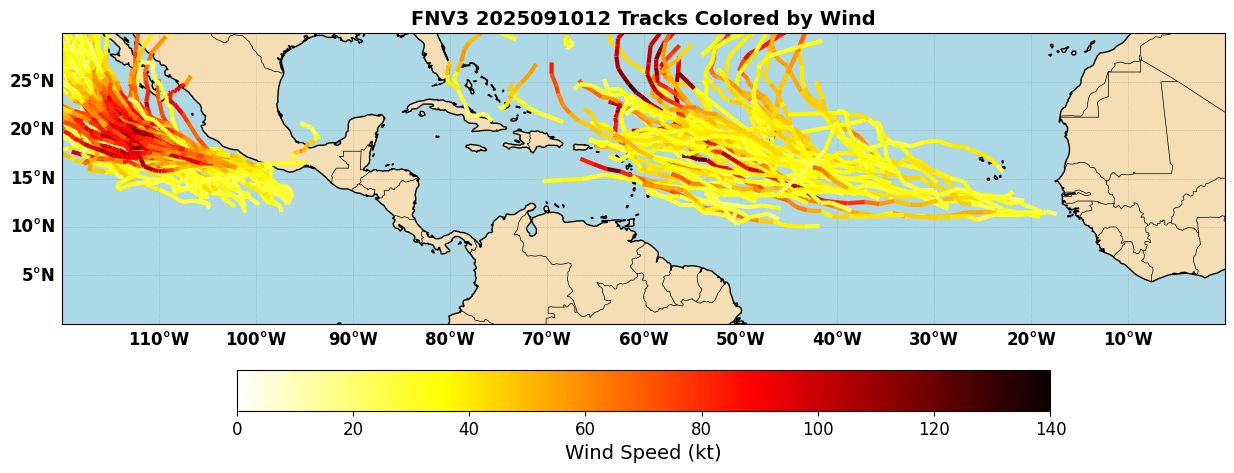
Today is the climatological peak of the Atlantic hurricane season, but the basin is still remarkably quiet, with no candidates to develop in the short term. NHC has highlighted a wave over the West Coast of Africa for a 20% chance of development in the next 7 days. The AI models do show some development of this system down the road, which stands in contrast to the recent wave (91L) that failed to develop, where AIFS and Google Deepmind were hesitant on development. Google’s Deepmind FNV3 ensemble shows some development of this wave over the Central Atlantic, with some members getting strong as they recurve over the Central Atlantic (Figure 1).
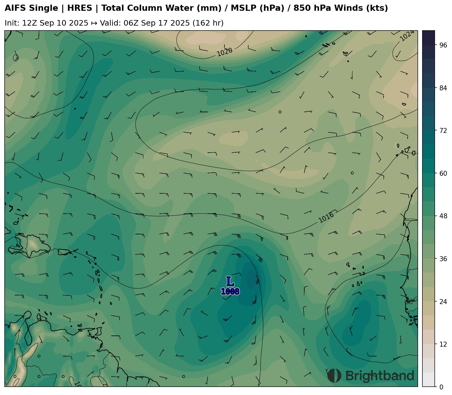
The environment over the Central Atlantic looks fairly healthy for development, with high precipitable water (Figure 2). Overall, the African wave train looks healthier there than it has for much of this season, perhaps in response to a Kelvin Wave that just moved over Africa and the more robust MJO pulse getting ready to move into the Atlantic.
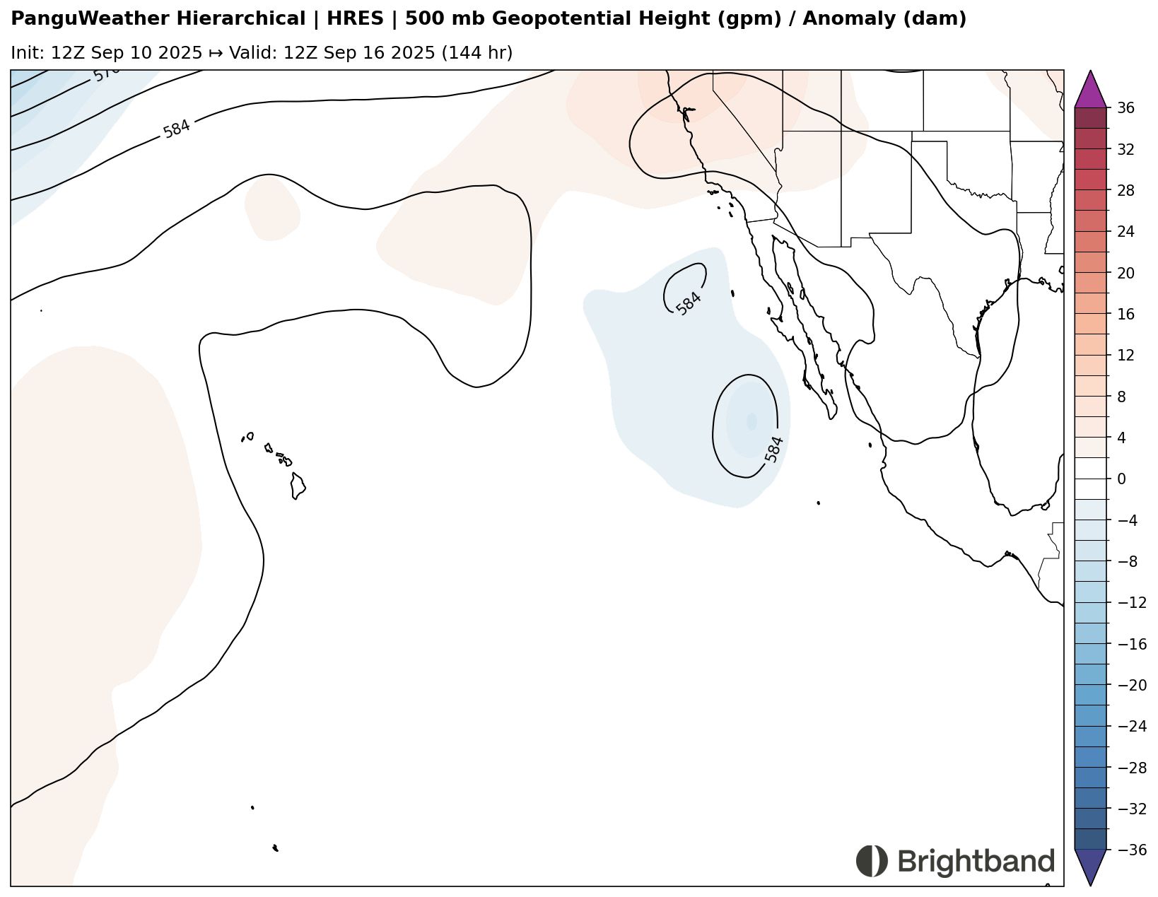
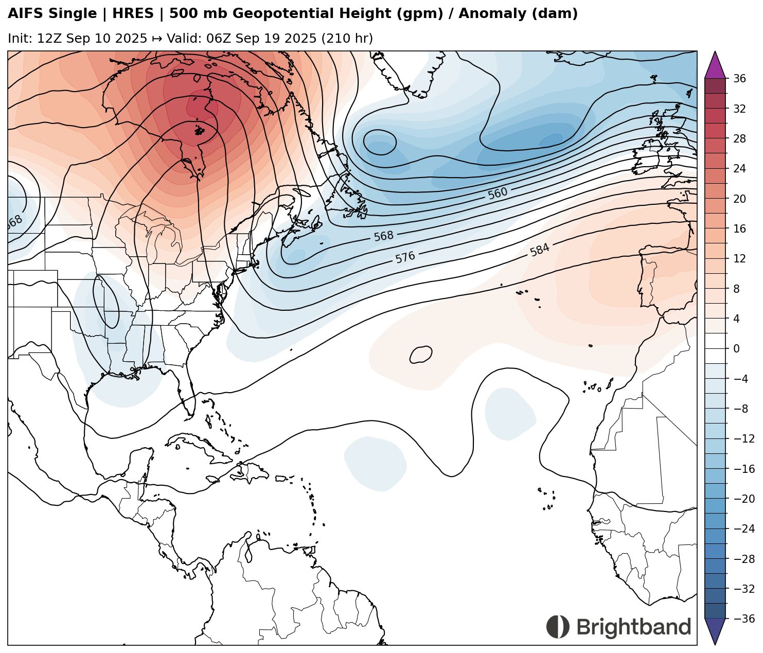
Right now, it seems likely that any system that forms in the Central Atlantic will gain latitude fairly quickly, thanks to troughing undercutting the ridge and another trough eroding the Western edge of the ridge around 60W (Figure 3). That’s a little too far out to be confident in the pattern, however, so we’ll see how things evolve if and when a system actually forms.
East Pacific
An area of disturbed weather south of Mexico, “Invest 95E” as it has been tagged by NHC, is getting better organized today and is likely to develop into a tropical depression within the next day or so. The system seems likely to intensify as it moves offshore parallel to the coast of Mexico. One positive trend is that models now indicate the trough over the SW United States might not be deep enough to pick up the system and bring it in Baja California (Figure 4), so it will hopefully stay offshore before it eventually dissipates over cooler water. However, some ensemble members (Figure 1) do still bring it NE towards Baja California, so it’s worth monitoring there.