Atlantic and Pacific Model Forecast Discussion 9-16-2025
West Pacific
As mentioned in the past discussion, the West Pacific is starting to look a little more active after a very quiet season so far. Invest 99W looks to move inland over Southern China, and another stronger system looks like it may well form East of the Philippines over the weekend. AI models suggest significant intensification is possible, with Google Deepmind showing quite a few members as strong typhoons and even some members reaching “super typhoon” (winds of at least 130 kt) status (Figure 1).
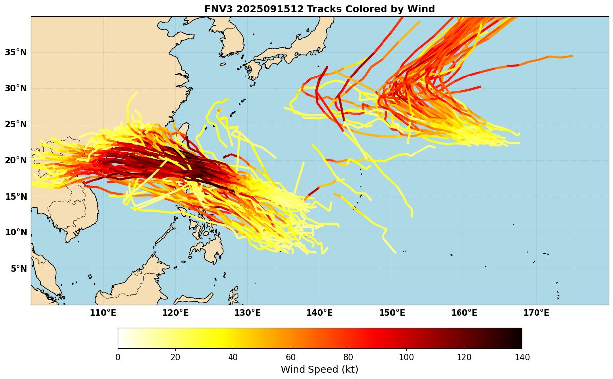
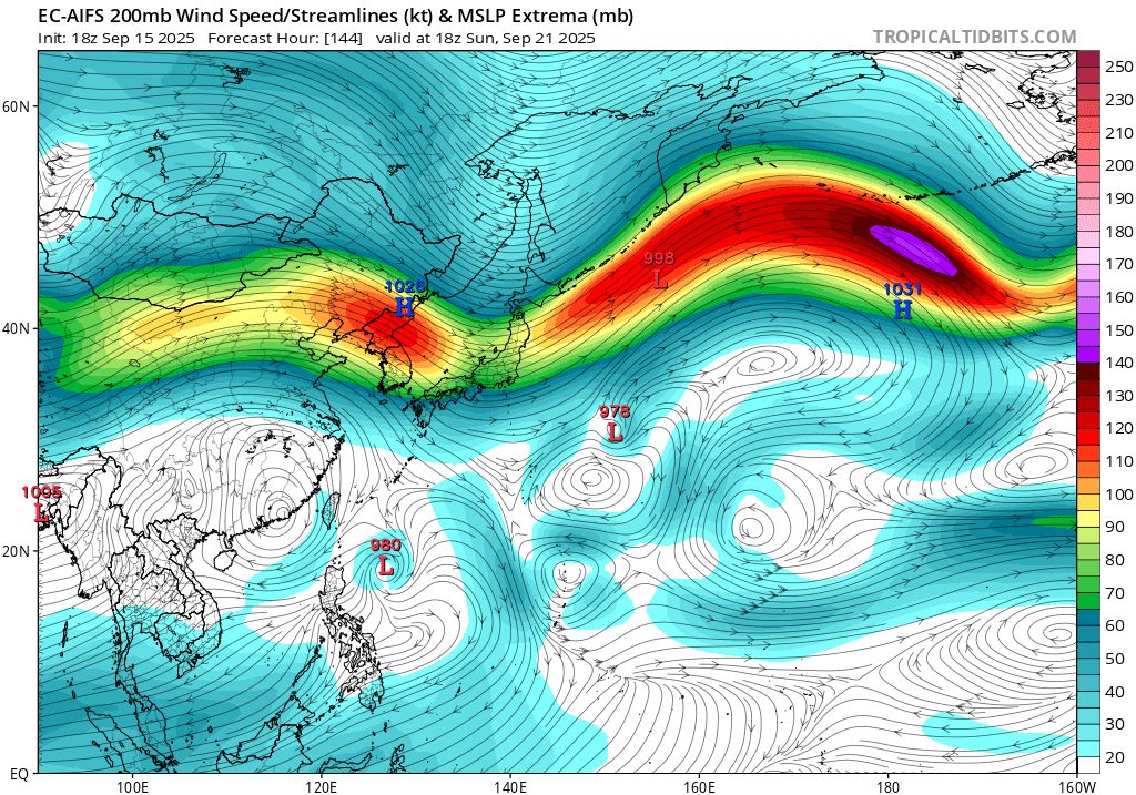
The upper level winds look especially favorable, with a large anticyclone overhead (Figure 2). It’s still a little early to tell whether this system might be a threat to Taiwan or Luzon, or move between the two. That part is still about a week away, so it will be important to monitor how the synoptic pattern trends as we go throughout the week.
East Pacific
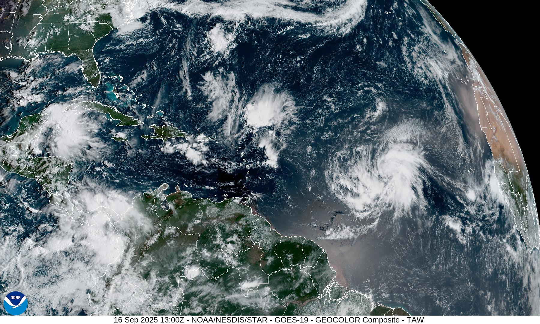
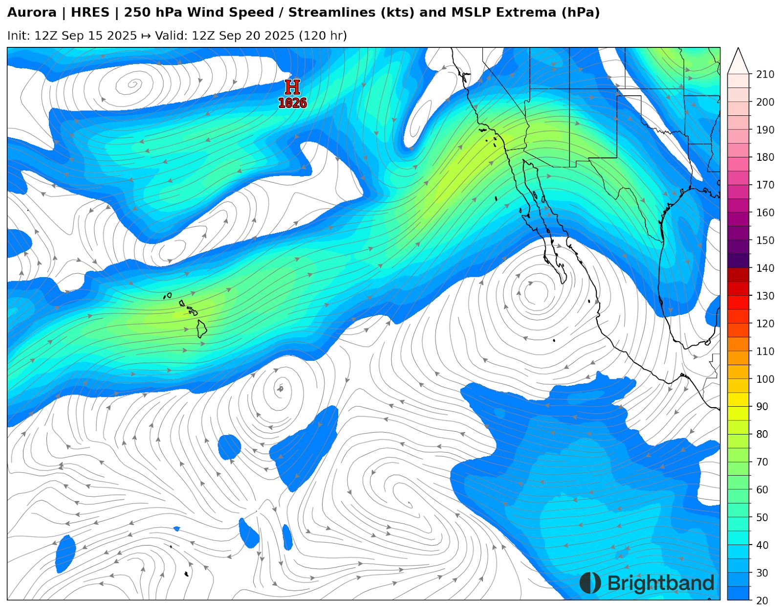
Tropical Storm Mario formed last week, dissipated over the coast of Mexico, and then reformed offshore. The system is moving off to the west, and another system may follow in its wake later this weekend (Figure 3). Thankfully it also looks to move west well offshore of the Baja Peninsula.
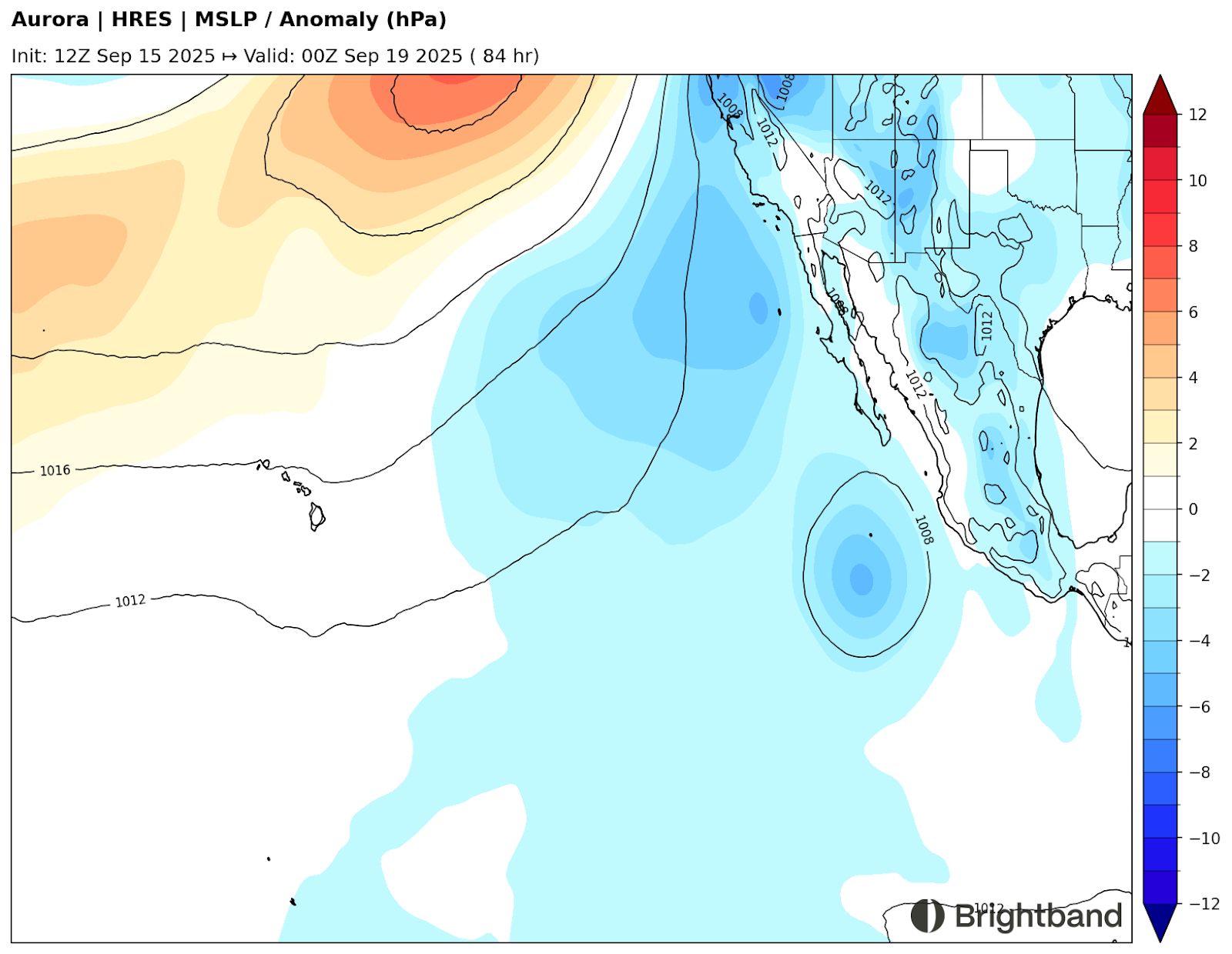
In general, the upper winds look to be favorable over the Eastern Pacific over the next week or so, with a large upper anticyclone overhead (Figure 4).
Atlantic
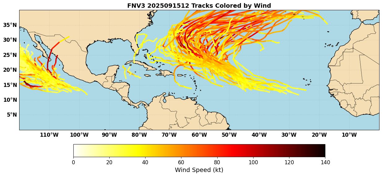
The Atlantic is starting to wake up a little bit on the backside of peak season after several weeks of well-below-average activity. The main system of interest is Invest 92L, over the Central Atlantic. The system is slowly organizing and producing more convection than Invest 91L that failed to develop earlier this month. The system will gain latitude and should move well north of the Lesser Antilles, thanks to an upper level low creating a weakness in the subtropical ridge. This upper low will also bring some southwesterly shear (Figure 5) and dry air into the circulation, so I would not expect significant intensification of the system until it moves into the subtropics into a more favorable upper-level environment.
Ensemble forecasts like Google Deepmind (Figure 6) indicate that the system is likely to continue into the weakness in the ridge and then recurve into the upper-level westerlies, potentially becoming a strong hurricane in the subtropics. There are also some indications that a later wave may develop and likely follow a similar path to the NW, but that’s a little far out still. With the MJO moving into the basin, we’ll see if the Atlantic can “make up for lost time” missed during the dead peak season.